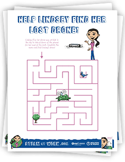
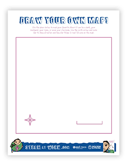
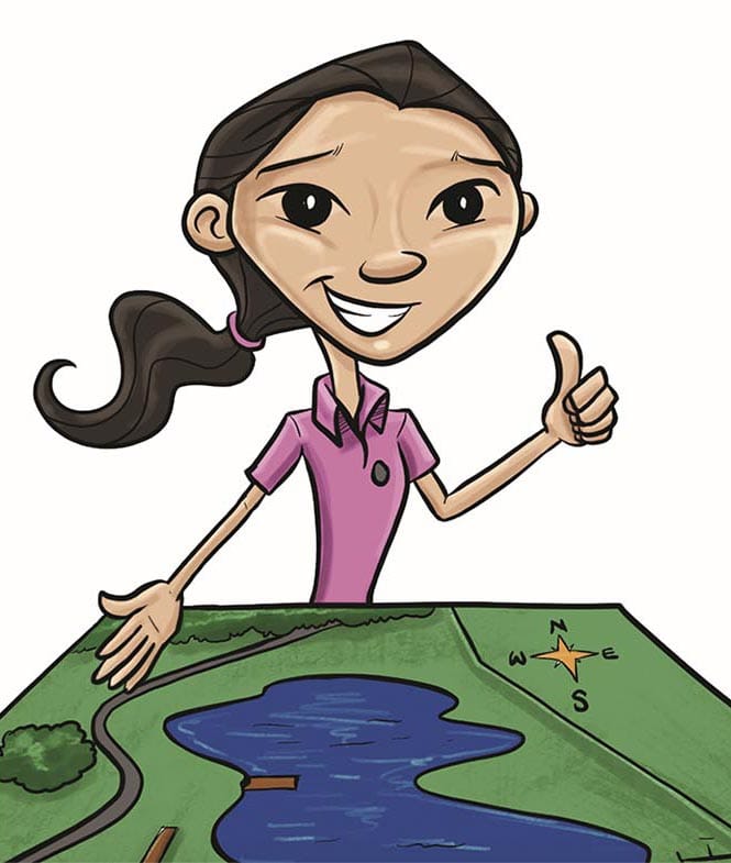
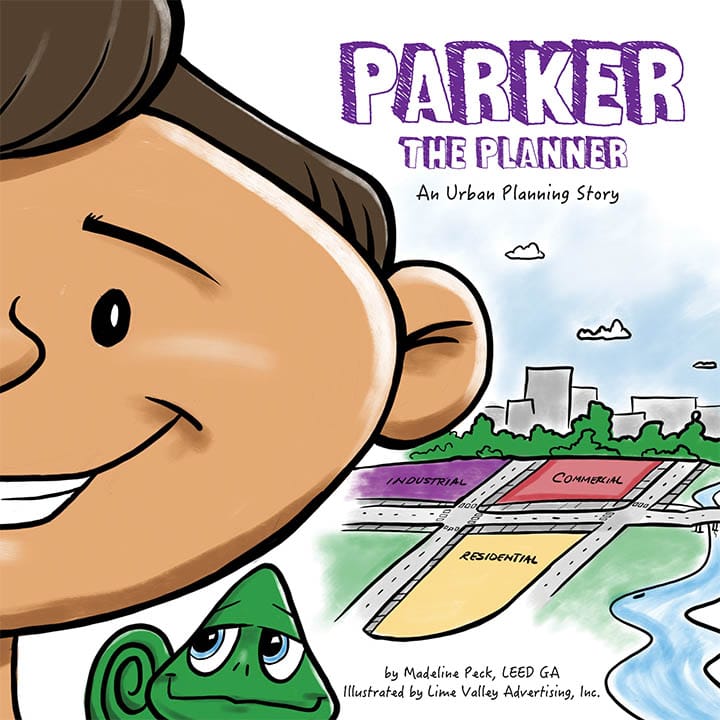
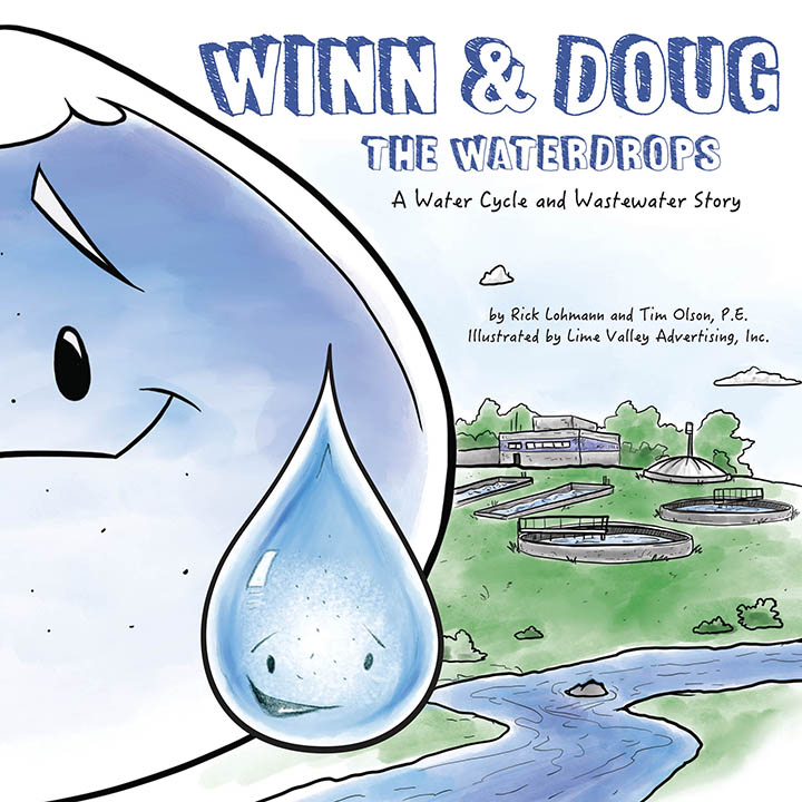
Follow Lindsey as she collects information about the world around her to make a map of her favorite park.
Click on an activity or resource below to have fun with Lindsey as she shows you how being aware of the world around you (geography) can help you make the world better for everyone.
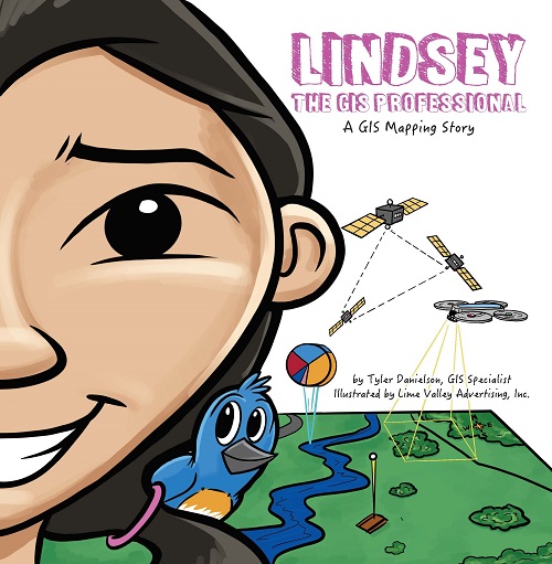
Making Maps with Lindsey the GIS Professional
Help Lindsey make some maps! In this interactive activity, Lindsey shows how to use GIS and spatial thinking in a fun, easy to understand way. Learn how to calculate area, measure distance, change basemaps, use your own spatial data to make a map, and more! Once you finish, Lindsey even has a special prize for you.
Help Lindsey make some maps!STEAM Resources (Teach Lindsey)
Teacher Resources
How to teach Lindsey in language arts, social studies, creative arts, math, or science classroom.
Teaching GuideCommon Core State Standards (CCSS)
See how Lindsey meets English Language Arts Common Core Anchor Standards.
Download PDFC3 Standards
See how Lindsey meets the C3 Framework for Social Studies State Standards.
Download PDFNext Generation Science Standards (NGSS)
See how Lindsey meets Next Generation Science Standards.
Download PDFLexile® Framework for Reading
820L
Teach GIS
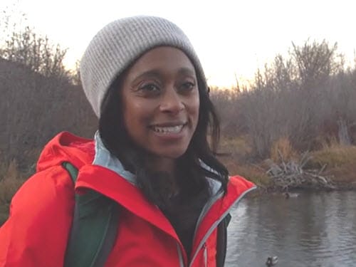
Follow Biologist Dr. Rae Wynn-Grant as she puts GIS to work on her bear tracking data and field work.
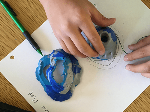
Hands-on activity, with clay, to guide students through the history of mapmaking.
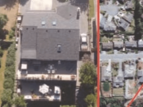
Online activity to help students describe their location in the world, from an absolute, regional, and global perspective.
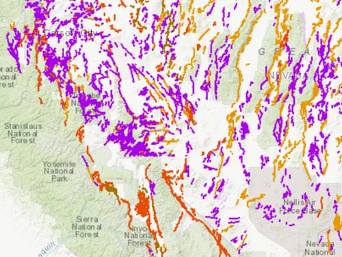
A series of online activities to grow understanding of plate tectonics and its influence on earthquakes and volcanoes.
Meet the REAL LINDSEY and her Brother TYLER, the author
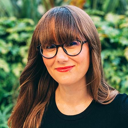
Lindsey is an Instructor at Esri with a passion for taking her student’s skills to the next level. Her previous experience working in environmental permitting for utilities, public transportation, and cartography gives her a breadth of knowledge to share with Esri’s wide range of clients. She is inspired by her students, their stories, and their contributions to our communities using GIS. When she is not teaching, she is exploring, learning, or trying something new.

Tyler is a GIS professional for the Upper Midwest regional infrastructure engineering firm Bolton & Menk, Inc. He has nearly 10 years of experience on a variety of GIS projects including production mapping, emergency response analysis, LiDAR analysis, remote sensing, orthorectification, georeferencing, and developing mapping products and public and online engagement tools. Tyler authored Lindsey the GIS Professional as a part of Bolton & Menk’s children’s book series. His goal with Lindsey was to increase awareness of the benefits the profession provides to the public and share his love of GIS and mapping with an audience of future potential GIS professionals.
I feel privileged to share a birthday gift my brother made for me with so many people. I never imagined I would be a character in a book, and I certainly never imagined it would be published and sold someday. Even though the book is named after me, I see the character Lindsey as any young person who had an interest in the outdoors, getting muddy while digging up rocks, or who just had a curious mind. This book should be an encouragement to explore and discover the world around them.
Tyler’s gift to me has turned into a gift for so many others - I hear that this book has helped adults understand what we do, too! Regardless of your age, Lindsey the GIS Professional is an educational book for all to enjoy.
Explore other books in the STEAM at Work! series
Event Kit
Contact Esri Press for additional resources to help you introduce Lindsey into your classroom or youth organization.
Email Esri Press